Engineering Survey
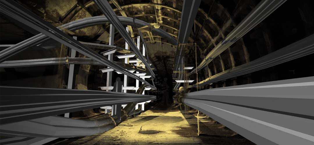
JC White Geomatics are able to offer consultation, advice and practical solutions for an Engineering Survey. We generally use traditional survey techniques for this type of work i.e. Total Station and GNSS/GPS. If the survey is more complex we may elect to use a 3D Laser Scanning solution.

We provide:
- Detailed Topographical Survey information to provide essential data for design teams
- Survey control provision or verification
- As built surveys of completed or partially completed construction works
- Earthwork and Volumetric Survey – By comparing design information to existing and proposed land formations, earthwork costs can be accurately calculated. A written report is supported by a detailed drawing with isopachyte contours. Volumetric Survey on stockpiles, open excavations and backfilled areas give quantities of cut or fill
- Adoption (Section 38) plans based on as-built survey data suitable for local authorities or Statutory Bodies
- Consultancy and advice on individual projects, including setting out requirements and setting out drawings
- Setting Out services for boundary demarcation and construction activities
- Movement monitoring of structures during construction
We support these activities with a Health & Safety Policy for construction-based survey works. Our surveyors have current CSCS accreditation. Site-specific risk assessments and method statements can be provided.
Setting Out
As-built Surveys
Construction Assessment
Specification Checks
GPS Primary Control Establishment
As-built Surveys
Construction Assessment
Specification Checks
GPS Primary Control Establishment
