Feb 13, 2020 | 3D Laser Scanning, aerial survey, Drone, Engineering Survey, Folkestone, PfCO, Surveyors in Kent, Topographical Survey, UAV
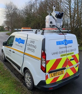
Two of our surveyors have recently undertaken a 4-day mobile scanning course enabling them to capture, process and utilise data from laser scanning technology on the move. This expertise enabled us to use a combination of vehicle-mounted mobile scanning & UAV...

Jul 19, 2019 | 3D Laser Scanning, aerial survey, Drone, Engineering Survey, Folkestone, Land survey, Landform Monitoring, PfCO, Surveyors in Kent, Topographical Survey, UAV
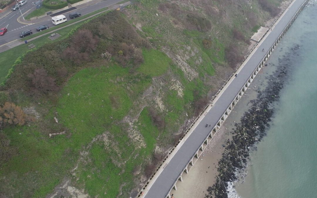
Our PfCO qualified UAV pilot has been capturing data with our drone for an ever-growing range of projects. Most recently Deep Ocean engaged our drone services to conduct a detailed topographical survey of Pegwell Bay beach two years after the burial of the Nemo cable,...

Apr 9, 2018 | aerial survey, Land survey, PfCO, Surveyors in Kent, Topographical Survey, UAS
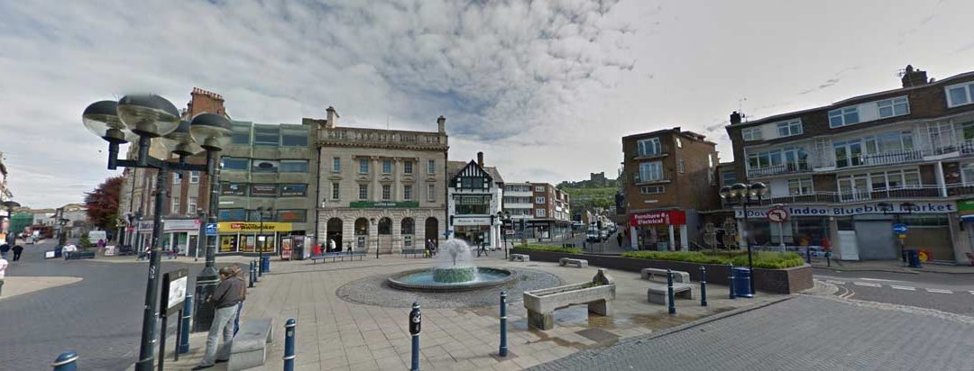
Dover Town Centre Topographical Survey JC White Geomatics’ surveyors braved the Arctic conditions of early March to undertake a detailed survey in Dover Town Centre. An accurate base plan was produced enabling the District Council to carry out its environmental...

Oct 30, 2017 | aerial survey, Measured Building Survey, PfCO, Topographical Survey, UAS, Volumetric Survey
Spreading our wings with aerial surveys J C White Geomatics have their own UAV (drone) pilot! We are now spreading our wings with aerial surveys. Employee Sam Hindess has now successfully completed his PfCO (Permission for Commercial Operations) Training and is now...


