Sep 15, 2020 | new normal, Surveyors in Kent
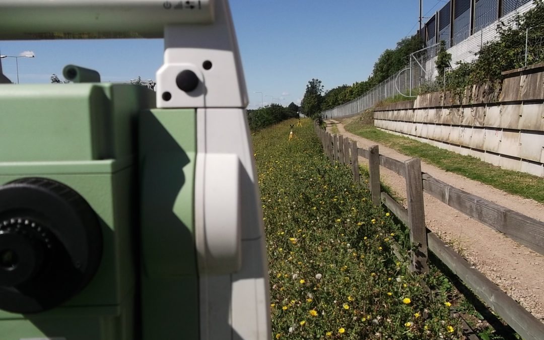
To say 2020 has been a difficult year would be an understatement. Back in March we had to completely re-think the way we work, principally on site but also in the office and from our own homes, and, like most businesses, we faced a great deal of uncertainty with jobs...

Feb 13, 2020 | 3D Laser Scanning, aerial survey, Drone, Engineering Survey, Folkestone, PfCO, Surveyors in Kent, Topographical Survey, UAV
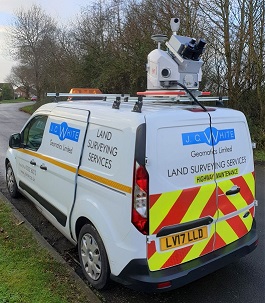
Two of our surveyors have recently undertaken a 4-day mobile scanning course enabling them to capture, process and utilise data from laser scanning technology on the move. This expertise enabled us to use a combination of vehicle-mounted mobile scanning & UAV...

Jul 19, 2019 | 3D Laser Scanning, aerial survey, Drone, Engineering Survey, Folkestone, Land survey, Landform Monitoring, PfCO, Surveyors in Kent, Topographical Survey, UAV
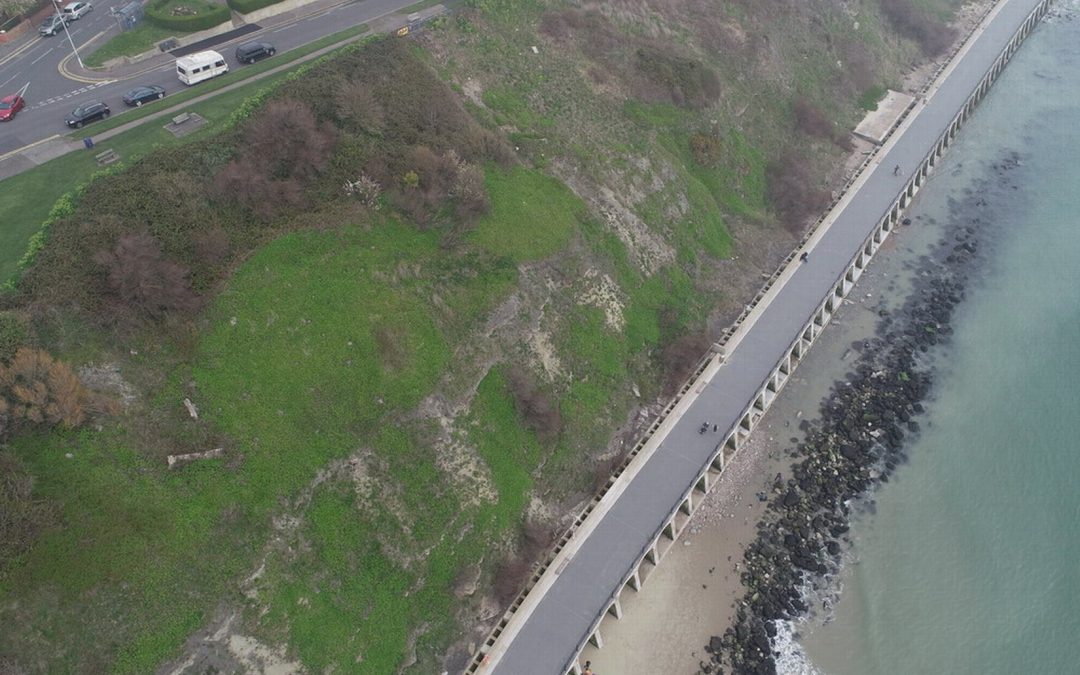
Our PfCO qualified UAV pilot has been capturing data with our drone for an ever-growing range of projects. Most recently Deep Ocean engaged our drone services to conduct a detailed topographical survey of Pegwell Bay beach two years after the burial of the Nemo cable,...
Apr 5, 2019 | Engineering Survey
J C White Geomatics Ltd is under new ownership With effect from 1st April 2019, J C White Geomatics Ltd is under new ownership by way of a Management Buy Out. The business was established by John White in 1981 and over the past 37 years he has successfully managed and...

Jan 15, 2019 | 3D Laser Scanning, Boundary Survey, Constructionline, Folkestone, Land survey, Landform Monitoring, Setting Out, Structural Monitoring, Surveyors in Kent, Topographical Survey
Eurotunnel site J C White Geomatics has hit the ground running in January 2019. In the first two weeks of the new year we have had nearly forty enquiries ranging from topographical through boundary and setting out jobs to 3D scanning. Nearly a quarter of these have...


